Cat Smith Working for Lancaster and Fleetwood
This is the Environment Agency’s latest update in full.
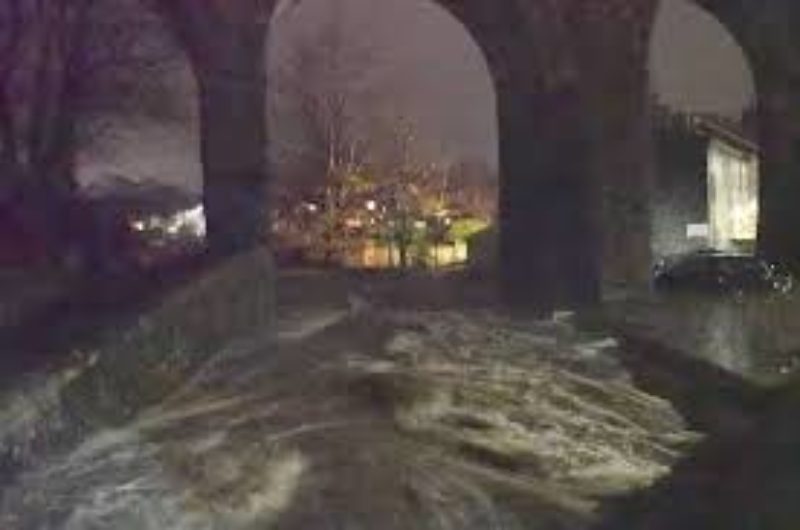
Galgate
- Immediately after the flooding in November 2017, the Environment Agency removed blockages and gravel that had been moved by floodwaters, as it posed an imminent risk of flooding on the River Conder and Whitley Beck.
- We removed a collapsed wall and multiple tree stumps that had fallen into Whitley Beck that risked being washed into the culvert under the village centre.
- We have undertaken a gravel survey in Galgate which showed most of the channel through the village is clear. We are currently looking at how the isolated accumulations can be removed.
- The blockage of the Old Mill Channel has been passed to Lancashire County Council as the Highway Authority.
With regards to community engagement, we are due to attend a meeting with the newly formed flood action group shortly to set up an “issues and actions” log. We will have a single point of contact from Environment Agency for the group and we will offer a ‘site walkover’ to discuss some of the key issues.
Many residents in Galgate did not receive a timely flood warning in the November flood. The flood warning was issued later than it should have been because the river gauge was under-reading until the peak of the flood due to a fault. In the days after the flood we installed a new additional sensor, to improve our flood warnings. We have also simplified the flood warning service so that the whole community is now served by just 1 flood warning area, whereas in November it was 2. In addition, we are investigating a new river gauge site for the smaller river Whitley Beck (which runs alongside Stoney Lane). This will enable us to provide a separate flood warning service for the properties at risk from Whitley Beck.
In 2015, before the flooding we had undertaken an investigation into a potential new flood risk management scheme in Galgate. A new scheme would aim to either maintain the current standard of protection offered by the existing flood defences (that are near the end of their design life), or to improve the current standard of protection. Unfortunately, our assessment concluded that even replacement of the existing scheme is currently unaffordable achieving a partnership funding score of just 54%. So without significant financial contributions from other sectors we would not be able to progress a scheme.
We are currently re-assessing this work in light of the 22 November 2017 flooding and are optimistic we can improve the partnership funding score but it is unlikely to get the 100% score required before a scheme can be fully funded by GiA. This is why alongside the appraisal work, we will be engaging with partners to try to secure the necessary financial contributions to make the scheme affordable. The Bailrigg Garden Village is one area we are looking to engage as this may provide construction and funding opportunities/efficiencies to reduce flood risk in Galgate.
Burrow Beck, South Lancaster
- Immediately after the flooding in 2017, we removed blockages, including a collapsed wall upstream of Bowerham Road.
- We carried out inspections of flood defence assets to ensure integrity and to identify any repair or improvement works required.
- In January 2018 an inspection of in river structures at the rear of properties along Colchester Avenue was carried out as this was believed to be a contributing factor to the flooding. We found no concerns and all fences and bridges are above the level where they would affect flow.
- The effectiveness of removing gravel from under the bridge at Bowerham Road is being investigated and, if required, is scheduled for August/September 2018.
- Improvements to the embankment along Cranwell Avenue are scheduled for August 2018, including slight raising and levelling to remove the low spots where floodwater escaped from the channel.
- Routine maintenance is programmed for September 2018 and will include the cutting back of vegetation in the channel and on the raised defences, plus removal of any in-channel blockages.
With regards to community engagement, the Environment Agency are due to attend a ‘site walkover’ in July with members of the LA1 4 Flood Action Group. Similar to Galgate, an “issues and actions” log will be set up to work in co-ordination with the single EA point of contact approach.
Following the flooding in November 2017, we have accelerated appraisal work of long term options to reduce flood risk from Burrow Beck, South Lancaster. This work will examine flood risk from all sources in the area and will consider a wide range of options available to us to manage flood risk. Each option will be assessed in terms of feasibility, affordability and acceptability to partners and the community. If viable options are identified, then more detailed appraisal and design work will be carried out with the ultimate aim of building a scheme to reduce flood risk from all sources. Early indicators suggest that there will be a significant funding gap that will need to be filled to make a scheme affordable. We will also be engaging with partners to identify potential financial contributions.
We are also working with Lancaster City Council and Lancashire County Council to assist the 2 most at risk homes on Canterbury Avenue. These properties are most frequently and significantly affected by flooding when it occurs. We are working to fund some property level protection measures that will significantly improve their protection and offer some peace of mind for the residents whilst we investigate longer term solutions.
The Environment Agency, together with Risk Management Authority partners, are keen to work with all existing and emerging community groups to write Community Emergency Plans and support flood resilience within communities.